IRIS
- Home
- IRIS
DETECT, IDENTIFY & MAP EXPLOSIVE ORDNANCE THREATS
Welcome to the future of rapid area survey with IRIS, our groundbreaking AI-assisted surface threat detection software. Designed to revolutionise object detection, IRIS is a highly advanced and efficient platform-agnostic solution for the data collection and surface surveying of abandoned, unexploded and improvised explosive ordnance threats.
Harnessing cutting-edge AI algorithms and machine learning models, IRIS rapidly and accurately detects, identifies, and maps surface Explosive Ordnance threats enabling military, humanitarian and law enforcement agencies to avoid hazards or engage with them confidently and safety.
By dropping virtual GPS markers, IRIS builds an immediate map for clearance teams.
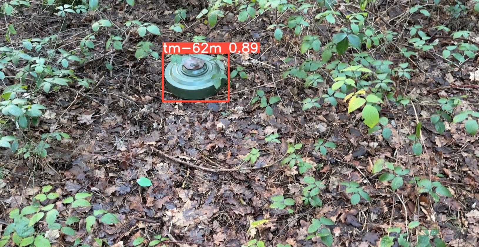

- Reliably and accurately detects, identifies and maps in milliseconds.
- Precision and accuracy - our AI algorithms and machine learning models can identify and map threats with high precision, reducing the likelihood of missing or misidentifying Explosive Ordnance.
- Very low false alarm rate - clearance assets are deployed where they’re needed most.
- Faster surveying and remote monitoring keep personnel safer and allow them to achieve more
- Compatible with any air or ground platform live or recorded video feed.
- Can be integrated with other sensor technologies.
- Developed by world-leading experts in munition technical intelligence, EOD, demining and land release.


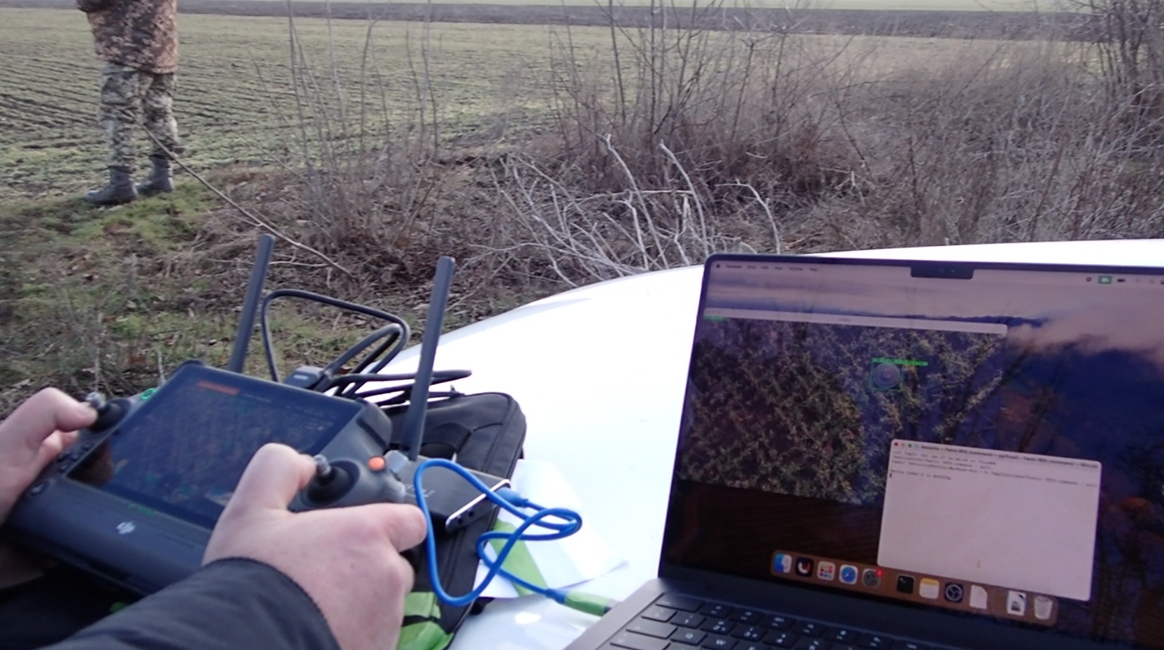

In live field trials in the Kherson region of Ukraine, IRIS allowed drone operators to identify threats accurately and reliably, in a fraction of the time traditional survey operations would take. The demonstration team deployed IRIS and successfully detected live mines in mined areas in real-time; something that has never been accomplished before to this level of reliability and accuracy in a current conflict area.
The seamless link to fenixinsight.com enhances the usability of IRIS and provides users with detailed information on technical specifications, munitions characteristics, heat maps and conflict events and informs threat lists to direct ML focus.
CURRENT APPLICATIONS FOR OUR TECHNOLOGY


Military
IRIS, our innovative AI-assisted threat detection software, marks a significant advancement in rapid area surveying for military operations dealing with unexploded ordnance. By leveraging state-of-the-art AI algorithms and machine learning models, IRIS swiftly and accurately detects, identifies, and maps surface explosive ordnance threats.


Law Enforcement
Fenix IRIS Image Recognition Detection provides law enforcement with an advanced solution to quickly identify weapons and potential threats through rapid and accurate analysis of visual data. This enhances officer safety, streamlines security protocols, and enables proactive crime prevention measures, ultimately enhancing public safety and strengthening law enforcement effectiveness.


Humanitarian
Fenix IRIS holds immense value for humanitarian mine action efforts due to its advanced capabilities in threat detection and mapping. By swiftly and accurately identifying surface explosive ordnance (EO), including scatterable landmines, submunitions and associated ‘signs’ IRIS accelerates and enhances both non-technical and technical survey (NTS and TS). Its precision mapping technology facilitates the creation of detailed maps, allowing survey and clearance teams to plan and execute their operations more quickly and with confidence.
We are pleased to partner with Ace High Drone Specialists, a leading drone services and supplies company based in the UK. Ace distinguishes itself through its expertise and innovation in the unmanned aerial vehicle (UAV) industry. Renowned for providing cutting-edge solutions, Ace High excels in delivering high-quality aerial data acquisition, mapping, and inspection services.


